U.S. Route 151, commonly searched as US151, Route 151, or 151 route map, is an important highway in the United States that connects key regions of Iowa and Wisconsin. It is well known for linking major cities, scenic areas, and industrial zones, making it a vital route for both travelers and transport systems.
In this blog, we will explore everything about US151 in detail. You will learn what this route is, its full route description, major sections like Iowa and Wisconsin, its history, important exits, and why it is important. The article is written in simple English so that everyone can easily understand.
What is U.S. Route 151?
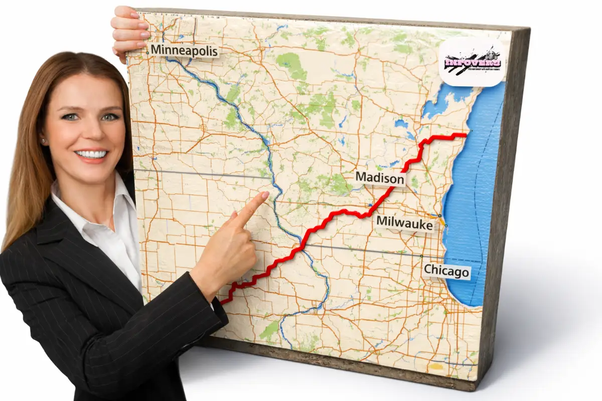
U.S. Route 151 is a major north–south highway in the United States. It runs for approximately 324 miles (521 km) and passes through two states: Iowa and Wisconsin.
The southern end of the highway begins near Williamsburg, where it connects with Interstate 80. From there, it moves in a northeast direction and ends in Manitowoc, where it meets Interstate 43. Along the way, it passes through major cities like Cedar Rapids, Dubuque, Madison, and Fond du Lac.
US151 is considered an important transportation corridor because it connects rural areas with urban centers. It is widely used by daily commuters, tourists, and transport trucks. Some parts of the highway are expressways, while others pass through city roads and scenic countryside.
| Category | Details |
|---|---|
| Route Name | U.S. Route 151 (US151) |
| Length | 324 miles (521 km) |
| Country | United States |
| States | Iowa, Wisconsin |
| Start Point | Williamsburg, Iowa (I-80) |
| End Point | Manitowoc, Wisconsin (I-43) |
| Major Cities | Cedar Rapids, Dubuque, Madison, Fond du Lac |
| Established | 192 |
Route 151 Description
The route of US151 can be divided into several important sections. Each section has its own features, landscapes, and road types.
Iowa Section
The journey of US151 starts near Williamsburg in Iowa. From here, the highway moves north through rural farmland and small towns. One of the first important places it connects to is Amana Colonies, which is a well-known cultural and tourist area.
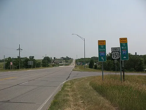
As the route continues, it reaches Cedar Rapids, one of the largest cities in Iowa. In this area, US151 becomes a major freeway and connects with highways like US 30 and US 218. This section has multiple interchanges and heavy traffic, especially near the city.
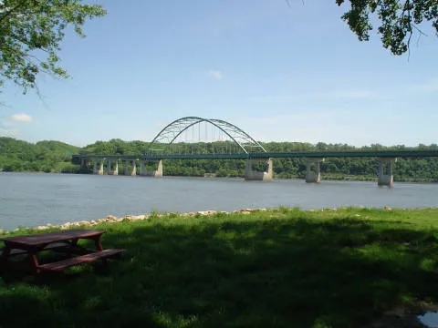
After Cedar Rapids, the highway moves toward Dubuque. This part is more scenic, with rivers, valleys, and countryside views. Near Dubuque, US151 joins with other highways like US 61 and US 52, forming shared routes for a short distance.
Dubuque to Madison
After leaving Dubuque, the highway crosses the Mississippi River using the
Dubuque–Wisconsin Bridge and enters Wisconsin.
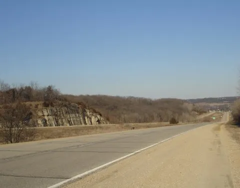
This section includes hills, valleys, and beautiful landscapes. The road passes through towns like Platteville and Dodgeville. In some areas, the highway is a limited-access road, meaning fewer stops and smoother traffic flow.
US151 also joins with US 18 in this section, and both highways run together toward Madison. This shared route helps improve connectivity between smaller towns and the capital city.
Madison Metropolitan Area
When US151 reaches Madison, the capital of Wisconsin, it becomes a busy urban road. The highway passes through residential and commercial areas and connects with major highways like I-39, I-90, and I-94.
In this area, traffic is usually heavier, and the road includes multiple lanes, interchanges, and city streets. US151 also overlaps with other highways like US 12, US 14, and US 18 for a short distance.
This section is very important because it connects the highway network across the state.
Madison to Fond du Lac
After leaving Madison, US151 becomes a freeway again. It moves through suburban areas and farmland, passing places like Sun Prairie and Columbus.
The road in this section is designed for faster travel, with fewer stops and controlled access. It is commonly used by commuters and long-distance drivers.
As the route approaches Fond du Lac, it continues as a bypass around the city, helping reduce traffic inside the city center.
Fond du Lac to Manitowoc
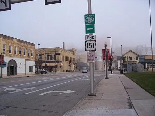
In the final section, US151 becomes a mix of expressway and smaller roads. It travels near Lake Winnebago and passes through rural landscapes and small towns like Chilton.
The highway eventually turns east and reaches its final destination in Manitowoc, where it connects with Interstate 43.
This section is quieter compared to earlier parts and offers a more relaxed driving experience.
History of U.S. Route 151
US151 has a long history that dates back to the early development of the U.S. highway system.
It was first established in 1926 as one of the original highways. At that time, the route was much shorter and only connected Fond du Lac to Madison. Over the years, the highway was extended and improved to meet growing transportation needs.
In 1934, planners extended the route southwest to Cedar Rapids, making it more important for regional travel. Later, they extended it further northeast to Manitowoc.
During the 1980s and 1990s, several improvements were made, including bypasses and rerouting to reduce traffic congestion in cities. The highway continued to evolve with better infrastructure and safer road designs.
In 2022, the northern endpoint was officially updated to connect with Interstate 43 instead of ending داخل the city.
Illinois Section
Interestingly, there was a short period when US151 briefly passed through Illinois. A bridge closure in 1969 forced officials to redirect the route.
During that time, the highway used routes through Illinois before re-entering Wisconsin. However, this was temporary. In 1982, engineers built a new bridge and shifted the route back to its current alignment.
Routings Changes
Over time, US151 has gone through several routing changes:
- Extended south to connect with Interstate 80
- Rerouted around Cedar Rapids to reduce city traffic
- New bypasses added in multiple cities
- Improved expressway and freeway sections
These changes made the highway more efficient and safer for travelers.
Exit List (Major Exits)
Below is a simplified version of important exits along US151:
| State | Location | Exit | Major Connections |
|---|---|---|---|
| Iowa | Williamsburg | — | I-80 |
| Iowa | Near Amana | — | US 6 |
| Iowa | Cedar Rapids | 248–254 | US 30, US 218, I-380 |
| Iowa | Dubuque | 184–190 | US 52, US 61 |
| Wisconsin | Platteville | — | WIS 80, WIS 81 |
| Wisconsin | Dodgeville | — | US 18, WIS 23 |
| Wisconsin | Madison | 258–261 | US 12, US 14, I-39, I-90, I-94 |
| Wisconsin | Sun Prairie | 100–103 | WIS 19 |
| Wisconsin | Columbus | 118 | WIS 16, WIS 60 |
| Wisconsin | Fond du Lac | 162 | I-41, US 41 |
| Wisconsin | Manitowoc | — | I-43 |
Conclusion
U.S. Route 151 is more than just a highway. It is a vital connection between cities, towns, and states. From busy urban roads in Madison to peaceful rural areas near Manitowoc, it offers a complete travel experience.
Whether you are a traveler, a driver, or just someone curious about highways, understanding US151 helps you see how important road networks are in daily life.
FAQs
Ans. US151 is a major highway in the United States connecting Iowa and Wisconsin.
Ans. It is about 324 miles (521 km) long.
Ans. Major cities include Cedar Rapids, Dubuque, Madison, and Manitowoc.
Ans. It starts near Williamsburg, Iowa and ends in Manitowoc, Wisconsin.